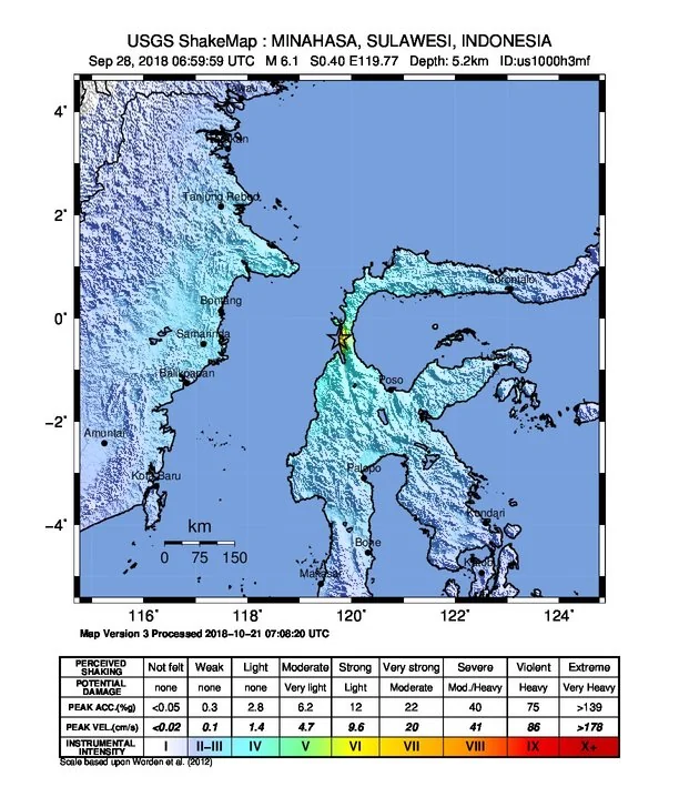
On September 28, 2018, a destructive tsunami struck Sulawesi, Indonesia, following an earthquake. According to the official NOAA/NCEI Global Historical Tsunami Database, the event occurred at 10:02:45.3 UTC. The associated earthquake registered a magnitude of 7.5, triggering tsunami waves that reached a maximum recorded water height of 10.73 meters.
Event Overview and Measurements
The tsunami event in Sulawesi is cataloged with a validity of 4 in the global database, indicating a definite tsunami occurrence. The geographic coordinates recorded for the event are latitude -0.256 and longitude 119.846. The combination of the 7.5 magnitude earthquake and the generated sea waves resulted in significant impacts across the region.
Casualties and Economic Impact
The historical record details severe human and financial losses resulting from the disaster. Official figures document 4,340 deaths and 10,679 injuries. In addition to the human toll, the event caused economic damage estimated at 1,500.0 million USD.
Image credits
- United States Geological Survey — Wikimedia Commons source — Public domain
Sources and further context
Official datasets support the event-specific facts.