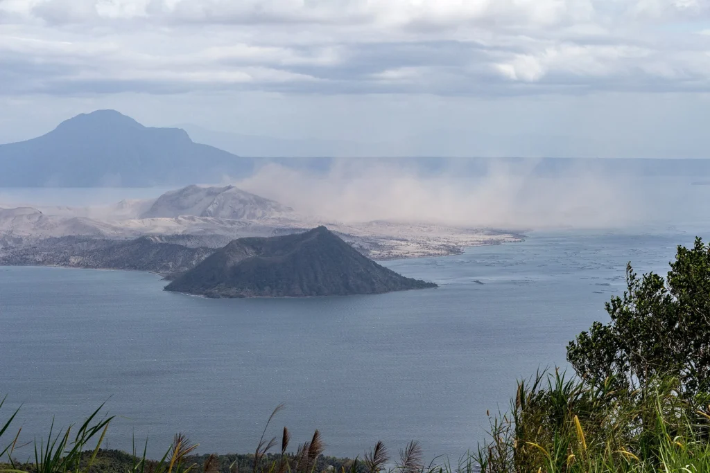
Taal is a caldera volcano located in the Philippines with an elevation of 311.0 meters and a tectonic setting characterized by a subduction zone and continental crust exceeding 25 kilometers in thickness. Official records from the Smithsonian Global Volcanism Program document 39 confirmed eruptions spanning from prehistoric times to the 21st century CE. The largest recorded eruption in the official record reached a Volcanic Explosivity Index (VEI) of 6.0.
Distinguishing between the structured eruption record and general profile dates, the earliest recorded eruption in the collection dates back to 3580 BCE (with a start year uncertainty of 200 years), while the profile's last known eruption year is recorded as 2026. A representative sequence of confirmed eruptions illustrates the changing methods of observation and activity areas over millennia, shifting from isotopic evidence in prehistoric times to direct reported observations in historical eras.
Chronological Distribution of Recorded Eruptions
The official record indicates 39 confirmed eruptions distributed across multiple centuries, ranging from a single prehistoric event in the 36th century BCE up to activity recorded in the 21st century CE. The table below outlines the distribution of confirmed eruptions by century according to the official collection aggregates.
| Century / Era | Confirmed Eruption Count |
|---|---|
| 36th century BCE | 1 |
| 16th century CE | 2 |
| 17th century CE | 5 |
| 18th century CE | 9 |
| 19th century CE | 6 |
| 20th century CE | 11 |
| 21st century CE | 5 |
Representative Historical Eruption Records
The documented history of Taal includes diverse activity types, evidence methods, and specific local vent areas. Selected representative records from the official database demonstrate the scope of documented events:
- 3580 BCE (Uncertainty: 200 years): Recorded as an early confirmed eruption with a Volcanic Explosivity Index (VEI) of 6.0, determined via isotopic methods (Carbon-14 uncalibrated).
- 1715 CE: A confirmed eruption originating from the Binintiang Malaki activity area, assigned a VEI of 2.0 based on reported observations.
- 1842 CE (July 2): A confirmed eruption with a VEI of 2.0 based on reported observations.
- 1967 CE (August 16 to August 19): A confirmed eruption located on the southwest flank near Mount Tabaro, documented with a VEI of 1.0 based on reported observations.
- 2024 CE to 2026 CE (April 12, 2024 – March 16, 2026): A confirmed eruption sequence spanning from its start date in April 2024 to its end date in March 2026, with a VEI of 2.0 based on reported observations. As noted in the official data retrieval, the profile lists the last known eruption year as 2026, with the latest confirmed start date noted as 2024-04-12.
Image credits
- Ray in Manila — Wikimedia Commons source — CC BY 2.0
Sources and further context
Official datasets support the event-specific facts.