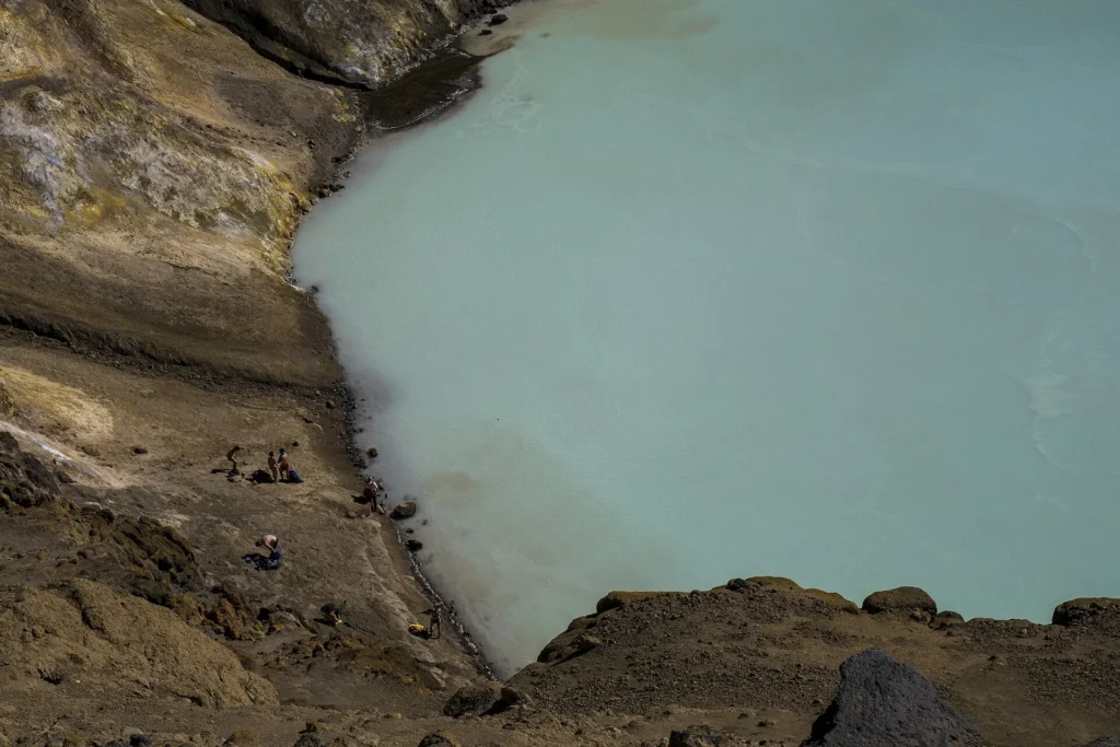
Askja is a stratovolcano located in Iceland at an elevation of 1,080 meters, within a tectonic rift zone and oceanic crust setting less than 15 kilometers deep. According to the Smithsonian Global Volcanism Program, the volcano's official record contains 14 confirmed eruptions ranging from 8910 BCE to 1961 CE. These events reflect a diverse timeline determined through a combination of calibrated isotopic analysis, tephrochronology correlation, and historical direct observations.
Chronology of Confirmed Eruptions
The historical and prehistoric record for Askja spans multiple millennia, categorized across various centuries by official monitoring data. The earliest recorded eruption in the database took place around 8910 BCE, with a start year uncertainty of 200 years, registering a Volcanic Explosivity Index (VEI) of 5.0 in the southeastern part of the Askja caldera using calibrated 14C isotopic evidence.
Subsequent activity occurred intermittently over the centuries. For instance, an eruption south of Dyngjufjöll Ytri occurred around 1300 CE with a VEI of 1.0, identified through tephrochronology correlation. A significant event began on January 1, 1875 CE, and ended on October 17, 1875 CE, impacting the Öskjuvatn Caldera, Viti, and Sveinagja areas with a VEI of 5.0 based on reported observations.
20th-Century Activity and Latest Eruptions
Activity during the 20th century accounts for eight of the confirmed eruptions in Askja's record. A reported observation documented an eruption starting on July 2, 1919 CE, in the Dyngjufjöll area with a VEI of 2.0. The latest confirmed eruption in the official record began on October 26, 1961 CE, north of the Öskjuvatn lake at Vikraborgir, and concluded on December 5, 1961 CE, with a VEI of 2.0.
Understanding Eruptive Measurement (VEI)
The Volcanic Explosivity Index (VEI) is a relative scale used to describe the size of explosive volcanic eruptions based on factors such as volume of products ejected and eruption cloud height. In Askja's official record, the observed VEI values range from lower-explosivity events up to a maximum recorded VEI of 5.0. VEI values provide a relative measure of explosivity but do not encompass all aspects of volcanic behavior or potential hazard.
Frequently asked questions
Where is Askja located?
Askja is a stratovolcano located in Iceland, sitting at an elevation of 1,080 meters within a rift zone tectonic setting.
How many confirmed eruptions does Askja have?
The official Smithsonian Global Volcanism Program record documents 14 confirmed eruptions for Askja.
When was Askja's latest recorded eruption?
Askja's latest recorded eruption began on October 26, 1961, and ended on December 5, 1961.
What is the largest recorded VEI for Askja?
The largest recorded Volcanic Explosivity Index (VEI) for Askja is 5.0, which was documented during historical and prehistoric events such as the 1875 eruption and the early 8910 BCE eruption.
Sources and further context
Official datasets support the event-specific facts.