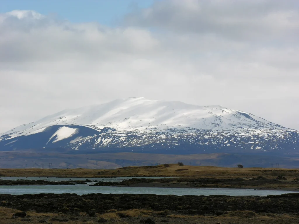
Hekla is a stratovolcano located in Iceland at a tectonic rift zone and oceanic crust setting, standing at an elevation of 1,490 meters (latitude 63.983, longitude -19.666). According to the Smithsonian Global Volcanism Program, Hekla has a confirmed total of 65 eruptions spanning from its earliest recorded year in 5850 BCE through the year 2000 CE.
Overview of Recorded Activity and Eruption History
The official record for Hekla documents eruptive activity across millennia, utilizing a combination of tephrochronology correlation methods for prehistoric events and direct historical observations for later periods. The earliest documented eruption in the record began around 5850 BCE (with a start year uncertainty of 2500 years) in the Svinholdahraun activity area. Over subsequent millennia, activity recurred intermittently across different flanks and associated vents, such as Vatnafjöll.
The largest recorded eruption in the dataset reached a Volcanic Explosivity Index (VEI) of 5.0, which occurred with a reported observation starting on October 15, 1104 CE. Out of the 65 confirmed eruptions in the collection, 29 include VEI observations. The most recent confirmed eruption in the official record began on February 26, 2000 CE, on the southwest flank, and ended on March 8, 2000 CE, with a recorded VEI of 3.0.
Chronological Distribution of Eruptions
Hekla's activity is distributed across numerous centuries in both BCE and CE eras. Prehistoric entries often carry dating uncertainties, such as the eruptions starting around 3350 BCE (uncertainty of 2500 years) at Raudkollar and Vatnafjöll (Grafellshraun), or 250 BCE (uncertainty of 500 years) on the northeast flank of Vatnafjöll (Langviuhraun). Historical reporting becomes more frequent in later centuries, with the 20th century CE alone accounting for 7 recorded eruption periods in the official database.
None of the historical records indicate a continuing eruption status; all documented events have defined historical start and, where available, end dates. The profile's last known eruption year is recorded as 2000.
Frequently asked questions
How many eruptions has Hekla recorded?
Hekla has 65 confirmed eruptions in the official Smithsonian Global Volcanism Program record, spanning from 5850 BCE to 2000 CE.
Where is Hekla located and how tall is it?
Hekla is located in Iceland at latitude 63.983 and longitude -19.666, with an elevation of 1,490 meters.
What was Hekla's largest recorded eruption?
The largest recorded eruption in the dataset reached a Volcanic Explosivity Index (VEI) of 5.0, associated with an eruption that began on October 15, 1104 CE.
When was Hekla's latest recorded eruption?
The latest confirmed eruption in the official record began on February 26, 2000, and ended on March 8, 2000.
Sources and further context
Official datasets support the event-specific facts.