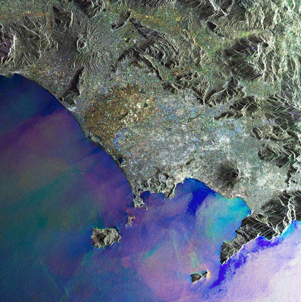
Ischia is a complex volcano located in Italy (latitude 40.73, longitude 13.897) with a summit elevation of 789 meters. Its tectonic setting is characterized by a subduction zone and continental crust greater than 25 kilometers thick. According to the Smithsonian Global Volcanism Program, the volcano has a record of 23 confirmed eruptions spanning thousands of years.
Overview of Eruption History
The earliest recorded eruption in the official record for Ischia dates back to 7550 BCE, located in the Selva del Napolitano, Piedmonte area, with a start year uncertainty of 2400 years. Over the millennia, activity has been documented across various activity areas using multiple scientific evidence methods, including isotopic dating (such as K/Ar and calibrated 14C) and magnetic correlations.
The largest recorded Volcanic Explosivity Index (VEI) for Ischia in the available records is 3.0, which was measured during an eruption near Bosco della Maddalena starting around CE 0040 (with a year uncertainty of 75 years). The most recent confirmed eruption in the official record began on January 18, 1302, in the Arso area, concluding by March 1302.
Selected Historical Eruptions
The 23 confirmed eruptions span multiple centuries. Below are representative examples from the official record illustrating the variety of locations, dating methods, and activity types:
- 7550 BCE (approximate): Selva del Napolitano, Piedmonte (Evidence method: Isotopic: K/Ar)
- 1480 BCE (approximate): Castiglione (Evidence method: Correlation: Magnetism)
- 370 BCE (approximate): Ischia Porto (San Pietro) (Evidence method: Correlation: Magnetism)
- CE 0040 (approximate): Near Bosco della Maddalena (VEI: 3.0, Evidence method: Isotopic: 14C calibrated)
- January 18, 1302 – March 1302: Arso (Evidence method: Observations: Reported)
Image credits
- Envisat satellite — Wikimedia Commons source — CC BY-SA 3.0 igo
Sources and further context
Official datasets support the event-specific facts.