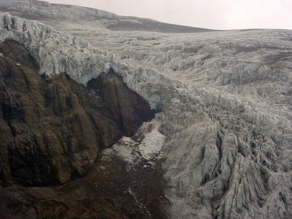
Reventador is an active stratovolcano in Ecuador, located at coordinates -0.077 latitude and -77.656 longitude, with a summit elevation of 3,562 meters above sea level. Situated within a subduction zone tectonic setting where oceanic crust descends beneath continental crust greater than 25 kilometers thick, Reventador has a documented eruptive history spanning multiple centuries. Official records from the Smithsonian Global Volcanism Program document 26 confirmed historical eruptions starting in 1541 CE.
Tectonic Environment and Volcanic Classification
Reventador is classified structurally as a stratovolcano, a type constructed from alternating layers of volcanic ashes, lava flows, and fragmental rocks. Its regional geological framework is defined by a subduction zone running along western South America, where plate convergence beneath continental crust drives melt generation and volcanic activity along the Andes.
To evaluate the scale of past eruptive activity, volcanologists use the Volcanic Explosivity Index (VEI). VEI is a logarithmic scale ranging from 0 to 8 that categorizes eruptions based on the volume of ejected material and eruption column height. While VEI provides a standardized physical measure of explosive magnitude, it does not directly reflect human, economic, or localized hazards.
Historical Eruption Timeline and Century Breakdown
The documented eruptive history of Reventador begins with a reported event in April 1541 CE. Historical documentation of volcanic events expanded noticeably over subsequent centuries as recording methods and observation networks improved across the region. Across all 26 confirmed eruptions recorded in the official database, the distribution across historical centuries is structured as follows:
| Century | Confirmed Eruption Count |
|---|---|
| 16th century CE | 2 |
| 17th century CE | 1 |
| 18th century CE | 1 |
| 19th century CE | 7 |
| 20th century CE | 11 |
| 21st century CE | 4 |
Eruptive Explosivity and Representative Records
Reventador's confirmed historical eruptions range in intensity from VEI 2.0 to VEI 4.0. The largest recorded explosive magnitude in the volcano's documented history reached VEI 4.0 during an eruption episode that began on November 3, 2002 CE and concluded on January 10, 2003 CE. That event involved documented eruptive activity localized at the summit and the southeast flank at an elevation of 2,600 meters.
The table below provides details for a representative selection of individual eruption records drawn from the larger stored history, illustrating the range of documented start dates, end dates, explosive magnitudes, and observational evidence methods.
| Start Date | End Date | VEI | Activity Area | Evidence Method |
|---|---|---|---|---|
| 1541-04 | Not reported | 3.0 | Not reported | Observations: Reported |
| 1844-07-02 | Not reported | 3.0 | Not reported | Observations: Reported |
| 1926-01-05 | 1926-05-16 | 3.0 | Not reported | Observations: Reported |
| 2002-11-03 | 2003-01-10 | 4.0 | Summit and SE flank (2600 m) | Observations: Reported |
| 2008-07-27 | 2026-03-25 | 2.0 | Not reported | Observations: Reported |
All recorded events in Reventador's entry relied on direct reported observations for evidence collection. Historical volcanic datasets track specific eruptive episodes for scientific record-keeping and do not replace real-time geophysical monitoring or local volcanic threat assessments.
Frequently asked questions
How many confirmed eruptions are recorded for Reventador?
The Smithsonian Global Volcanism Program records 26 confirmed eruptions for Reventador between 1541 CE and the 21st century CE.
What is the highest recorded Volcanic Explosivity Index (VEI) for Reventador?
The highest recorded explosive magnitude for Reventador is VEI 4.0, observed during an eruption that began on November 3, 2002 CE and ended on January 10, 2003 CE.
Where is Reventador located and what type of volcano is it?
Reventador is a stratovolcano located in Ecuador at coordinates -0.077 latitude and -77.656 longitude, reaching an elevation of 3,562 meters in a subduction zone setting over continental crust.
Image credits
- Contributor — Wikimedia Commons source — CC BY-SA 3.0
Sources and further context
Official datasets support the event-specific facts.