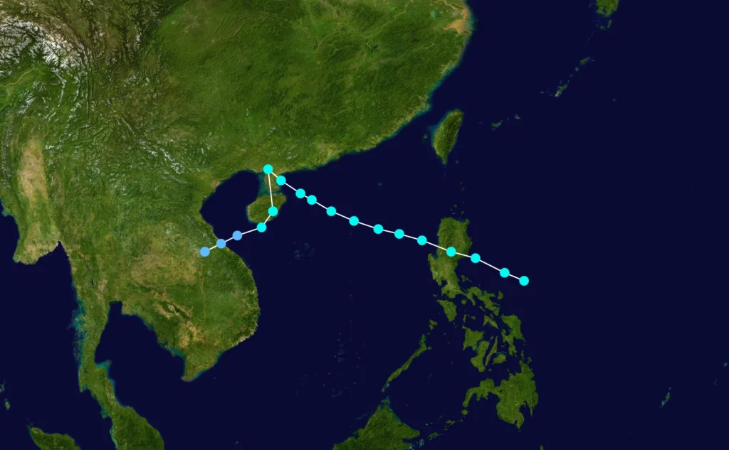
Overview and Lifecycle
Typhoon Kit was a tropical cyclone in the Western North Pacific basin during the 1966 CE Pacific typhoon season. According to official historical records archived in the International Best Track Archive for Climate Stewardship (IBTrACS), the storm was tracked over a multi-week period beginning on June 20, 1966 CE and concluding on July 3, 1966 CE.
Over its active life cycle, meteorological agencies logged 110 official track positions. The regional oversight and tracking assessment were provided by the World Meteorological Organization (WMO) responsible agency in Tokyo.
Intensity and Pressure Measurements
Kit attained a remarkably low central atmospheric pressure during its duration. The minimum central pressure recorded for the cyclone was 880.0 mb, evaluated by the responsible WMO agency. Atmospheric pressure at the core of a cyclone is a primary metric used by meteorologists to evaluate tropical cyclone intensity, with lower millibar values corresponding to higher storm intensity.
Maximum wind evaluations for Kit in the official dataset are attributed to the responsible WMO agency standards. Because historical data protocols vary across agencies and eras, central minimum pressure remains the standardized primary benchmark for Kit's peak strength in the archival record.
Track and Geographical Progression
The cyclone traversed a extensive path across the Western North Pacific, with a mean track position located at 26.91°N latitude and 145.25°E longitude. The system initially formed at low latitudes before progressing northwestward and eventually recurving into higher latitudes of the northern Pacific.
Representative positions from the 110 recorded track points illustrate the storm's trajectory across the basin:
| Date and Time (UTC) | Latitude (°N) | Longitude (°E) |
|---|---|---|
| 1966-06-20 00:00 | 8.7 | 150.8 |
| 1966-06-23 09:00 | 11.1 | 135.9 |
| 1966-06-26 18:00 | 23.6 | 131.9 |
| 1966-06-30 06:00 | 46.0 | 151.0 |
| 1966-07-03 15:00 | 50.2 | 179.7 |
The track commenced on June 20, 1966 CE near 8.7°N, 150.8°E and moved west-northwest through June 23 and June 26. By June 30, the system had moved into higher latitudes at 46.0°N, 151.0°E, before reaching its final logged position at 50.2°N, 179.7°E on July 3, 1966 CE.
Frequently asked questions
What was the lowest central pressure recorded for Typhoon Kit (1966 CE)?
The minimum central pressure recorded for Typhoon Kit was 880.0 mb, based on official determinations by the WMO responsible agency (Tokyo).
When was Typhoon Kit active?
Official IBTrACS records document Typhoon Kit's observation period from June 20, 1966 CE through July 3, 1966 CE.
How many track points were recorded for Typhoon Kit?
The official IBTrACS dataset contains 110 track points for Typhoon Kit across its life cycle in the Western North Pacific.
Image credits
- Supportstorm — Wikimedia Commons source — Public domain
Sources and further context
Official datasets support the event-specific facts.