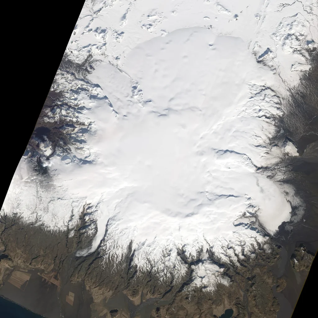
Katla is an active volcano situated in Iceland (volcano number 372030) with a summit elevation of 1,490 meters. Classified structurally as fissure vent(s) within a rift zone and oceanic crust setting (< 15 km), the volcano has a recorded history comprising 128 confirmed eruptions spanning from deep antiquity through the modern era. The earliest recorded eruption in the Smithsonian Global Volcanism Program database is dated to 6380 BCE, while the latest confirmed eruption began on October 12, 1918, and ended on November 4, 1918.
Understanding Katla's Eruption Record
The comprehensive historical record for Katla spans millennia, utilizing a combination of modern reported observations and historical tephrochronology—the study of tephra layers (volcanic ash) deposited in soil and ice cores to date past activity. Because older events lack eyewitness documentation, scientists rely heavily on tephrochronological correlations to reconstruct the timeline of prehistoric eruptions.
Out of the 128 confirmed eruptions documented in the official record, specific Volcanic Explosivity Index (VEI) values are recorded for 27 events. The Volcanic Explosivity Index is a relative scale that describes the size of explosive volcanic eruptions based on factors such as volume of products and eruption cloud height. Across Katla's recorded history, the largest recorded VEI is 5.0.
Historical Eruption Examples
The official record distinguishes between ancient correlated events and historically observed eruptions where specific vents, dates, and impacts were documented:
- 6380 BCE (?): An early confirmed eruption identified through tephrochronology correlation, with a start year modifier indicating uncertainty in the exact timing.
- 4060 BCE (?): Another early prehistoric event established via tephrochronological evidence.
- 1670 BCE (?): A mid-Holocene confirmed eruption documented through tephra correlation methods.
- October 17, 1755 – February 13, 1756: A historically observed eruption originating from an east-west fissure in the center of the caldera, reaching a VEI of 5.0.
- October 12, 1918 – November 4, 1918: The latest confirmed eruption in the database, located on the south side of the caldera and reaching a VEI of 4.0.
Frequently asked questions
How many confirmed eruptions does Katla have?
According to the Smithsonian Global Volcanism Program record, Katla has 128 confirmed eruptions.
When was Katla's latest confirmed eruption?
The latest confirmed eruption started on October 12, 1918, and ended on November 4, 1918.
What is the largest recorded VEI for Katla?
Katla's highest recorded Volcanic Explosivity Index (VEI) is 5.0.
Where is Katla located and what is its elevation?
Katla is located in Iceland at a tectonic setting of a rift zone and oceanic crust (< 15 km), with a summit elevation of 1,490 meters.
Sources and further context
Official datasets support the event-specific facts.